
South Valley Neighbors Around a Parcel
For a South Valley block, the public sources describe the area in layers. A map establishes proximity. The Assessor and Treasurer supply assessment or tax context for an individual parcel. The County Clerk can verify a recorded ownership transfer. Association maps offer community geography. Each layer answers a narrower question than “who lives here.” This matters in South Valley because the CDP includes County territory and places with Albuquerque municipal context. A postal Albuquerque line does not establish that City map tools apply.
| Block source | What it can show nearby | Access boundary |
|---|---|---|
| City Advanced Map Viewer | Adjacent parcel geometry and available overlays in City-covered territory | Map orientation only; owner field is assessed owner, not a household record |
| County PDS GIS and base map | Unincorporated parcel, street, lot, block, subdivision, and PIN geography | Reference material; legal title information comes from the Clerk |
| Assessor or Treasurer record | Parcel, situs, assessed owner, mailing field where displayed, and tax context | Not real-time and not a list of occupants |
| Clerk recorded-document index | Party roles, recording dates, document numbers, and legal descriptions | Shows a transaction, not current residency |
| SOS voter statistics | Aggregate registration by district, precinct, or county | Statistics, not nearby names or addresses |
| Recognized association map | Coalition and association geography | No verified public member directory |
Nearby parcels and households are not interchangeable. One block can include owner-occupied property, non-owner occupants, vacant land, entities, correspondence addresses outside the block, and protected-address participants. Use an official source for its stated field, and keep a date with each result. That approach makes a block search more accurate and avoids turning partial public records into claims about household membership.
South Valley Parcels Need Jurisdiction First
South Valley is a Census-designated place within Bernalillo County, not one incorporated city. The practical question is whether the subject parcel lies in an area reached by Albuquerque's map tools or in unincorporated County territory. In City coverage, the Albuquerque Advanced Map Viewer is a searchable multi-layer map. For County territory, begin with the Assessor, Treasurer, and County Planning & Development GIS. The County GIS material identifies street number, name, designation, quadrant, apartment, PIN, lot, block, subdivision, address, and acreage fields.
The most useful local clue is often the full address as assigned, including its quadrant. County address data and City Certificate of Occupancy instructions both preserve number, street name, and quadrant as separate elements. Do not remove SW, SE, NE, or NW when matching a parcel. A historical reference may use a different locality label or a legal description, so retain the parcel ID and lot or survey fields alongside the street address.
Note: A City map can orient a South Valley search, but the County Assessor and Clerk remain the verification route for current assessment and recorded ownership information.
Map a South Valley Parcel Radius
Map the immediate block in a small, documented radius. The City guide illustrates a 300-foot parcel buffer for nearby intersecting features. Its viewer also supports current-extent or drawn-polygon querying, subject to its documented limits. For unincorporated land, use County parcel geometry for the same first step. Proximity on a screen proves only that parcels are near each other. It does not show a relationship, a right of access, or a shared identity.
- Confirm the address jurisdiction, then locate the subject parcel in the applicable City or County map.
- Write down the parcel's UPC, PARID, or PIN, its situs address, and its legal description as shown.
- Use a small buffer or inspect the parcels that touch the subject boundary. Record each parcel separately rather than exporting a broad map result.
- Open the County Assessor record for each parcel and treat any owner or mailing field as an assessed-record field, not proof of occupancy.
- When a transfer date matters, search the Clerk index by parcel or legal description and capture the grantor, grantee, recording date, and document number.
The South Valley Street Directory is the better route when the question becomes a full named-street record chain. A block review should remain focused on the directly surrounding parcels and the documents tied to them.
South Valley Assessed Owners Nearby
The Bernalillo County Assessor property search is the current public assessment starting point after its disclaimer. The Assessor warns that its map and data may be preliminary, incomplete, and not updated in real time. A parcel card can show a PARID or uniform property code, assessed ownership name, situs address, tax year, land and structure values, exemption categories, and net taxable value. It may show an owner mailing address on the complete result.
Read each field literally. The situs is the physical parcel location. A mailing address is where assessment correspondence goes and can be a post-office box, agent, or out-of-area address. Neither field produces a list of residents. To test a recorded ownership change, move from the parcel field to the Bernalillo County Clerk Kiosk, using parcel number or legal description and then party role and date. The Clerk record is stronger transaction evidence than a map popup, but it still does not prove who lives at the property today. The Recording and Filing counter is at 415 Silver Ave. SW, 2nd Floor, Albuquerque; 505-468-1290 is the documented phone route for a document or legal-description question.
- Parcel or PIN
- A unique County mapping or property identifier that connects a mapped location with an assessment record and often a deed-index search.
- Situs address
- The physical location recorded for the parcel. It is not necessarily the mailing address of the assessed owner.
- Assessed owner
- The name carried on the County property roll for assessment purposes. It may differ from a current occupant or a household member.
- Legal description
- The lot, block, subdivision, tract, or survey identifier used to connect a parcel to recorded documents.
South Valley Voter Data Limits
New Mexico's Voter Information Portal is for a voter's own registration, polling place, and ballot information. It requires first name, last name, date of birth, County selection, and a verification step. It is not a street or block browse tool. The State's voter-data process is different: NMSA 1978 §1-4-5.5 allows regulated data products after a written request, payment, and authorization, with use restrictions and protected fields. That process should not be treated as a public block roster.
For civic context, use the Secretary of State's voter registration statistics, which provide aggregate views by district, precinct, or county. The State says protected data include Social Security numbers and day and month of birth, while Safe at Home information has its own confidentiality protections. In July 2026, the Secretary of State also reported that a federal court dismissed a suit seeking protected unredacted voter personal information. The durable point is that a nearby address does not authorize access to another person's civic information.
See the SOS voter-data information page for the current request and restriction materials.
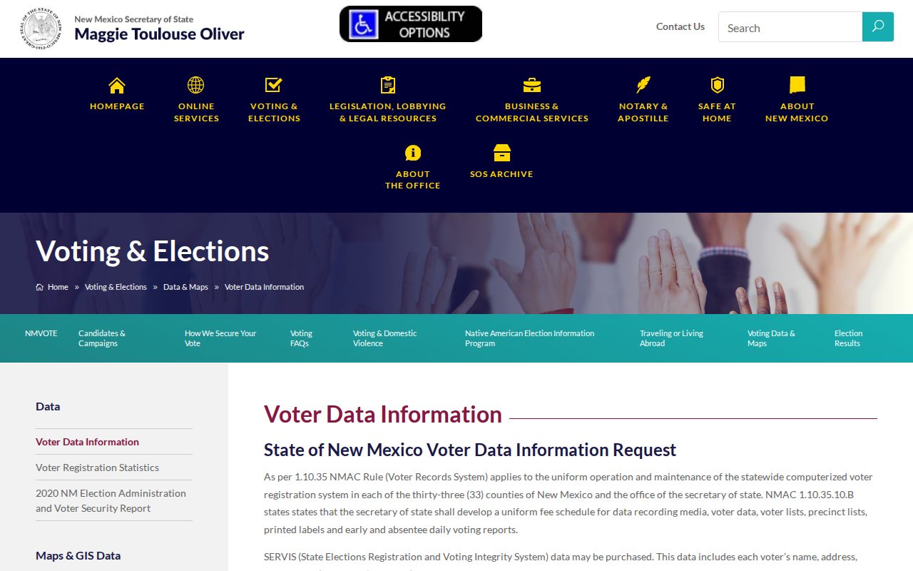
The official materials distinguish an individual voter transaction, regulated data access, and aggregate statistics. None of those is a general block-search service.
South Valley Coalition Connections
Community geography is a better use of association information than a hunt for member names. The City's recognized-neighborhood association and coalition map identifies the South Valley Coalition of Neighborhood Associations. Planning material also names South Valley Alliance, Southwest Alliance of Neighbors, Mountain View, Mountain View Community Action, Pajarito Village, Southside Farms, Vecinos del Bosque, Sunstar, and Far South Valley. These names can help a resident locate a public meeting or current contact route. They do not establish that any parcel belongs to an association or that an individual participates.
| Community lead | Documented role | Contact and directory limit |
|---|---|---|
| South Valley Coalition of Neighborhood Associations | Shown on the City's recognized coalition and association map | Use the Office of Neighborhood Coordination for current contact information; no verified public member roll |
| South Valley Alliance and SWAN | Named in South Valley planning and district context | Coalition or contact lead only; verify current activity with the City or County |
| Mountain View, Pajarito Village, Southside Farms, Vecinos del Bosque, Sunstar, Far South Valley | Area or community names in County association material | Geography lead only; no membership or household directory located |
Use the City association and coalition map as the starting source. The Office of Neighborhood Coordination publishes 505-768-3334 for current routes. This keeps the inquiry with the organization that maintains the public geography rather than relying on copied personal contacts.
South Valley Neighbor Sources Compared
Official records and private neighbor-search products do different things. A County parcel record has a named custodian, defined field meanings, and a correction route. The Clerk index ties its result to a recorded instrument. Private compiled tools can mix old and new sources, omit the source date, and blur an owner, address recipient, and occupant into one claim. For an address question, use the official source that owns the underlying record, then verify a discrepancy with that custodian.
| Source category | Best use | Limit to remember |
|---|---|---|
| Official parcel and assessment records | Parcel geography, assessed owner, tax and situs context | Not real-time and not a resident list |
| Official deed index | Recorded transfer, party role, date, and legal description | A transaction does not establish current occupancy |
| Private compiled neighbor tools | At most, a prompt to verify with an official custodian | Accuracy, source dates, and lawful use can vary; do not treat a display as proof |
If an official parcel or document appears wrong, take the PARID, UPC, legal description, document number, or recording date back to the office that created it. New Mexico's Inspection of Public Records Act can be a written fallback for a defined public record that is not online. It does not require an agency to make a new list of people living near an address.
South Valley Neighbor Privacy Limits
A map and parcel record do not expose renters, household members, utility customers, delivery recipients, or DMV-address holders. Court Case Lookup suppresses address and personal identifying information. New Mexico's Safe at Home program gives qualifying participants a substitute address and protects their actual address, delivery address, telephone number, and email except as a court order allows. A missing field can be an intentional safety protection, not a problem to work around.
Visit New Mexico Safe at Home for the program's official explanation and assistance route.
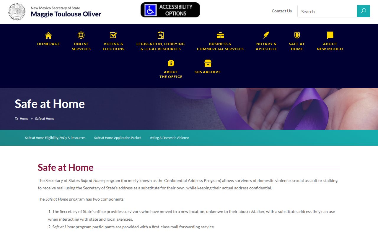
The program is one reason a careful South Valley block search stops at the lawful public record instead of trying to fill in protected information.
Note: For a disputed boundary, owner field, or document entry, contact the Assessor or County Clerk with the parcel or document number rather than relying on a map label.