
South Valley Previous Residents by Era
Previous residents research works best as an era check, not as one search. A deed establishes a recorded property transfer. A directory or census entry can add a household clue for a particular period. Planning records may help date an incorporated-area project, while obituary and archive sources can connect a family to later evidence. South Valley is a Census-designated place, so an address can be in unincorporated Bernalillo County or in Albuquerque's incorporated area. Confirm that jurisdiction before choosing a city record path.
| Record trail | Verified period | Custodian or collection | Address-history use |
|---|---|---|---|
| Recorded documents | 1800 through July 6, 2026, as displayed | Bernalillo County Clerk Kiosk and counter | Conveyances, party roles, document numbers, and legal descriptions |
| Albuquerque city directories | 1908 to present, as stated by the City | Public Library and UNM Center for Southwest Research | Name and address leads when the selected volume includes the locality or street |
| Federal census | Released on the 72-year schedule | National Archives and research collections | A decennial household snapshot, not an annual address roll |
| City planning systems | 1999 forward by named system periods | Albuquerque OnBase, ABQ-PLAN, or an IPRA request | Incorporated-area case and Certificate of Occupancy chronology |
| Obituary and archive collections | Collection-specific | ABC Library and New Mexico State Archives | Family, death, locality, and historical context leads |
Start with the County parcel and Clerk record when a transaction or property history is the goal. For a household question from the twentieth century, first identify a likely year range, then request the actual directory volume and pair it with the census release period. A missing directory entry is not proof that nobody lived there. Rural routes, spelling changes, a different postal locality, and incomplete volumes all affect the result.
South Valley Address Records Start With Land
The durable bridge for a South Valley address is the parcel's legal description. The Bernalillo County Assessor's public access system offers address, owner, and parcel paths after its disclaimer. Its data are not real-time, and an assessed owner is not automatically the occupant. Capture the parcel identifier, situs address, owner name, mailing address if displayed, tax year, and legal description. The County Treasurer can also search by address or parcel ID and offers a tax-year filter, although its service can be unavailable for maintenance.
Use the parcel fields to move to the Bernalillo County Clerk document search. That index accepts parcel number, subdivision, lot, block, tract, unit, and public-land-survey fields. A street label can change or be abbreviated. The lot, block, subdivision, or survey description is more likely to remain usable when an old deed omits a modern street address. County GIS and the Zone Atlas are helpful for orientation, but their materials say that legal descriptions and dimensions come from the Clerk.
- Grantor and grantee
- The grantor is the party transferring an interest in a recorded instrument. The grantee is the party receiving it.
- Chain of title
- A sequence of recorded transfers connected by the same parcel or legal description. It traces transactions, not every person who occupied the property.
- Legal description
- The recorded land identifier, such as a subdivision, lot, block, tract, or survey description. It connects a parcel to deeds when a street search fails.
- Situs address
- The physical property location carried on the assessment roll. It differs from an owner's correspondence address when the two fields do not match.
Note: Keep the street quadrant, parcel number, and legal description together in research notes so an address variation does not split one property into separate trails.
Tracing South Valley Previous Residents
A South Valley deed chain begins with the latest recorded ownership evidence, not with a name pulled from a directory. The Clerk Kiosk says its recorder documents are certified from January 1, 1800 through July 6, 2026. Its index provides name, grantor, grantee, recording-date, document-number, book/page, legal-description, and parcel-number fields. The portal's search help also supports exact last-name-first searching and advanced wildcard operators. Those tools can find spelling variants, but the legal description and party role are what keep a same-name result tied to the right property.
- Use the Assessor record to write down the current parcel identifier, situs address, assessed owner, and full legal description.
- Search the Clerk index by parcel number or by the subdivision, lot, block, tract, or survey fields. Narrow with a recording-date range and document type when needed.
- From the most recent conveyance, record the grantor, grantee, recording date, document number, book/page when present, and legal description.
- Search the prior seller as a grantee while holding the same legal description. That points toward the earlier acquisition in the chain.
- Repeat the handoff backward, requesting a copy, certified copy, or counter help when the online index does not supply the needed record.
The online index is a finding tool, not a certified conclusion. The Clerk's counter at 415 Silver Ave. SW, 2nd Floor, Albuquerque, handles Recording and Filing questions, original or certified-document assistance, and searches that need a document number or legal description. The County Clerk also publishes a County Clerk contact page; its documented telephone is 505-468-1290 and its email is clerk@bernco.gov. For a County-held record absent from the web, a narrow written request under the New Mexico Inspection of Public Records Act can identify the record class, date span, address or legal description, and preferred access format.
South Valley Quadrants and Old Deeds
South Valley address history has a local geography problem. County address data separate street number, street name, designation, quadrant, apartment, and PIN. City Certificate of Occupancy instructions also separate StreetNumber, StreetName, and Quadrant. Do not quietly drop SW, SE, NE, or NW from a search. A quadrant can be the difference between the right parcel and no result. When the city label, ZIP label, or street formatting changes, return to the legal description instead of forcing modern wording into a historic deed.
The records landscape is also split by jurisdiction. Albuquerque's planning tools can help only for an address within City coverage. The County Assessor, Treasurer, Clerk, and Planning & Development GIS remain the core route for unincorporated land. For a map reference, use the County base-map metadata or the County Zone Atlas, then verify the ownership document with the Clerk. A map shows location and parcel geometry. It does not decide legal title or tell who occupied a house.
South Valley Past Residents in Context
Past residents are often found by pairing a property chain with the library's historical layer. The City identifies Albuquerque city directories from 1908 to present at the Albuquerque Public Library and UNM's Center for Southwest Research. That is the collection serving South Valley, not proof that every directory has a separate South Valley section. Ask for a named year and inspect whether that volume has an alphabetical, street, or reverse section before using it for an address. The deeper collection details belong with the South Valley Directory Book.
Work in small intervals. Record a name and address exactly as printed in an available volume. Move one available volume backward or forward, then compare the closest released federal census schedule. Directories provide an annual-ish urban and commercial lead; census records provide a decennial household snapshot. An obituary or probate file can supply a later date or family link, but neither should be used alone to prove that someone occupied a particular South Valley property.
Begin with the ABC Library digital collections for discovery of city directories, phone books, maps, and neighborhood material.
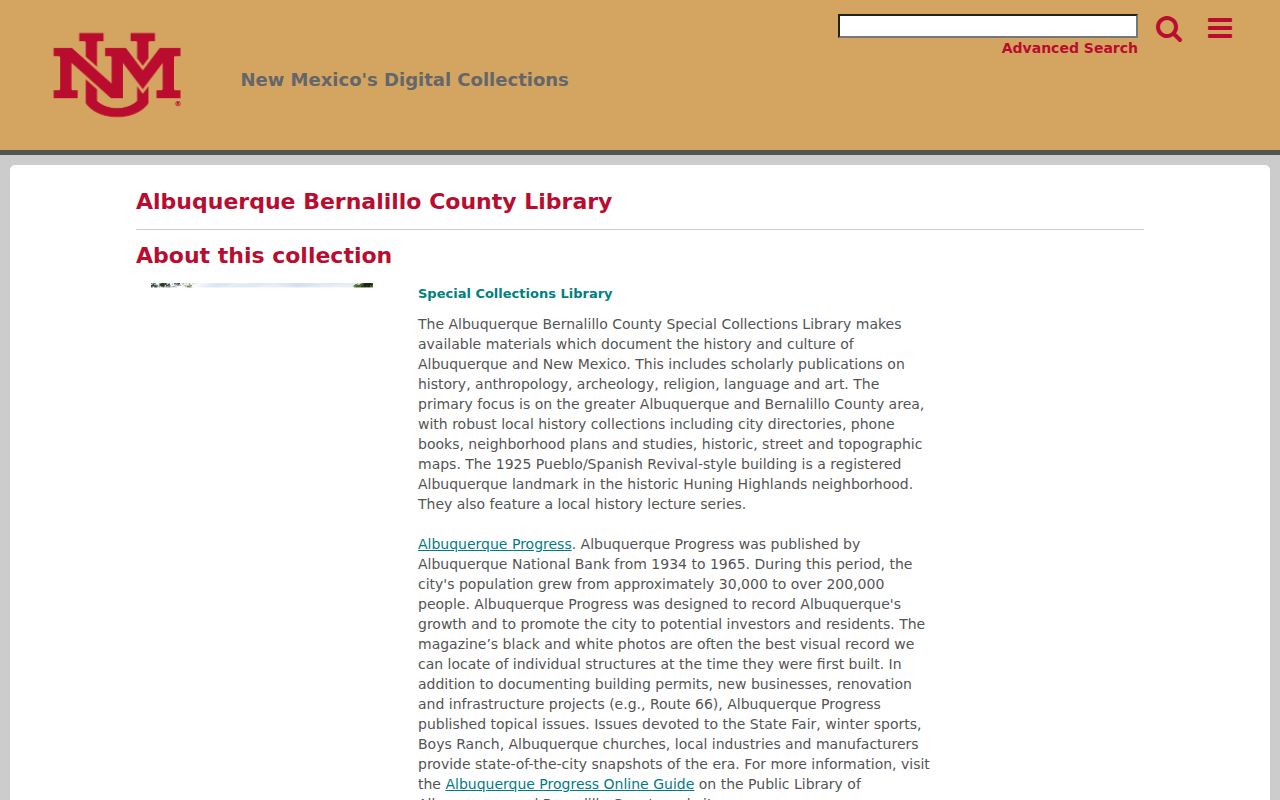
The collection can help locate a relevant item or year before a researcher asks the library or UNM for the exact volume and street sequence.
South Valley Planning Files by Date
For an incorporated-area address, a planning case can add a date to the physical history without becoming a household list. Albuquerque's instructions allow a Certificate of Occupancy search in OnBase using StreetNumber, StreetName, and Quadrant, or a permit number. The City says building permits themselves are not publicly available through that web channel. If the sought file is not available, use the City Clerk's public-record process instead of assuming the case is missing.
The system name matters. The City describes Cognos for 1999 through 2008, Kiva for 2008 through 2018, POSSE/MESA for 2018 through 2025, and ABQ-PLAN beginning in January 2025. Pre-1999 applications can use letter-prefixed project numbers. That chronology is specific to City planning records, not the County deed index. The City planning research instructions explain the address, permit, project, and case-number routes.
South Valley Archives Extend the Trail
When a property story reaches before the local directory period, the State Archives can supply a different kind of evidence. Its holdings represent Spanish, Mexican, and Territorial periods as well as later government, judicial, manuscript, and private-paper material. Its genealogy resources also identify patron-use microfilm of Archdiocese of Santa Fe sacramental records. These sources can support a family or place-history question, but they do not replace the parcel and Clerk document chain for a title conclusion.
Start with the State Archives' Heritage Search to identify a collection, then use its primary-sources guidance for historical genealogy routes.
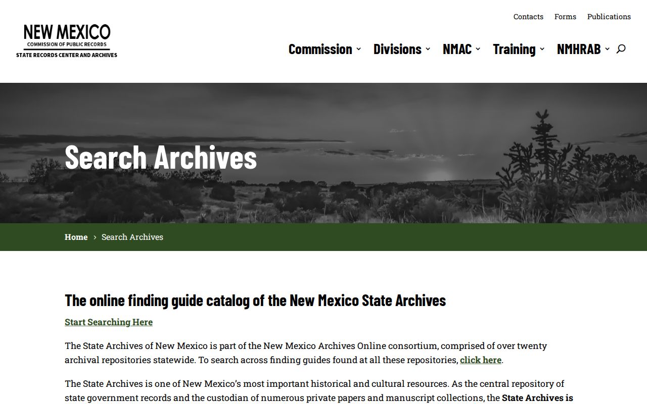
A catalog result is a lead to a collection and citation, not evidence that a record identifies a prior occupant of the address.
The State Archives primary-sources guidance also shows the historical research path for church and primary-source materials.
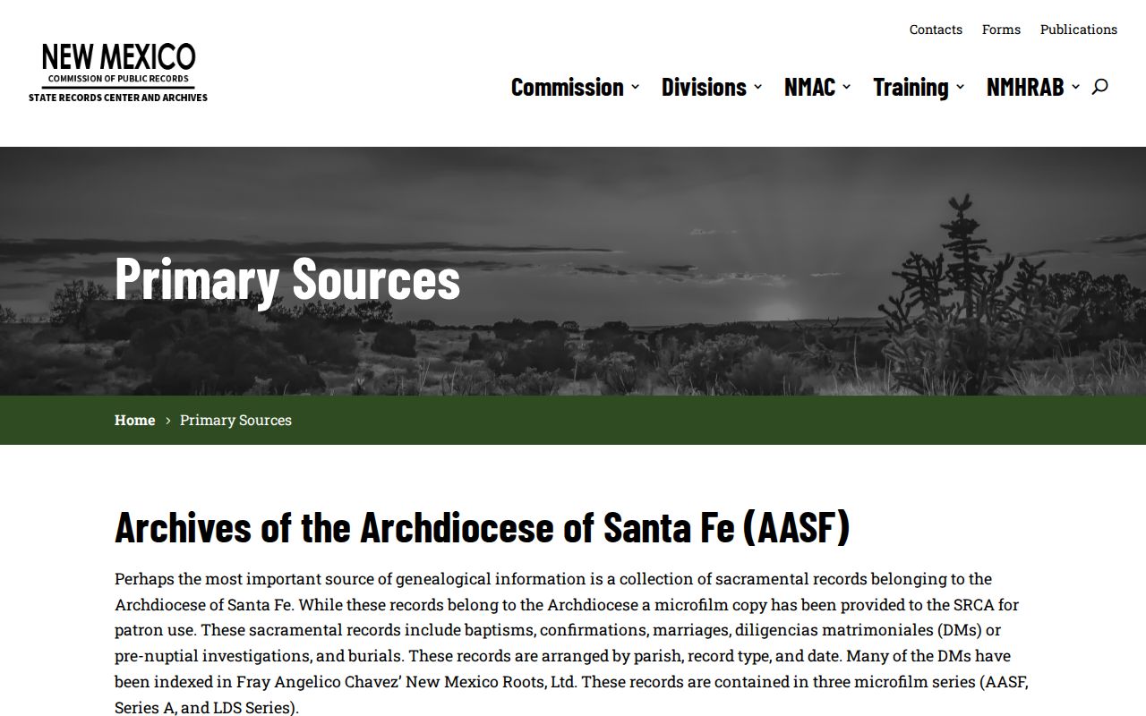
Use those materials to corroborate dates, kinship, or place names, then return to a recorded legal description for a South Valley land history.
South Valley Previous Residents Endpoints
An obituary can help identify a death date, family relationship, or a locality to research next. The Albuquerque Public Library Genealogy Center says its LAN has searchable indexed/images for Albuquerque obituaries from 1888 through 2013, with other request and web routes for different periods. It is a useful endpoint when an address trail reaches an estate or a known family event. It is not a replacement for a deed, a census entry, or an eligible vital-record request.
Use the ABC obituary research guide to select the library path that fits the time period.
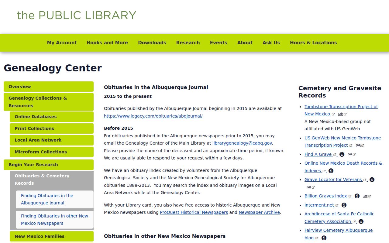
The guide is most useful after a parcel, directory, or family record has narrowed the surname and date range.
The Albuquerque Public Library Genealogy Center describes its Main Library research access, including genealogy computers and microfilm or fiche materials.
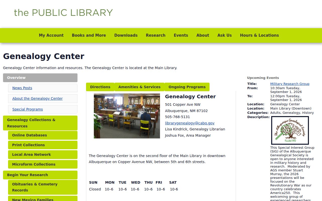
The center offers a documented in-person route when a directory, obituary, or microfilm question cannot be resolved from an online discovery record.
Note: If the historical trail is uncertain, preserve each document number, collection citation, and date range rather than treating a plausible name match as proof.